Product
Solid Edge Technical Publications
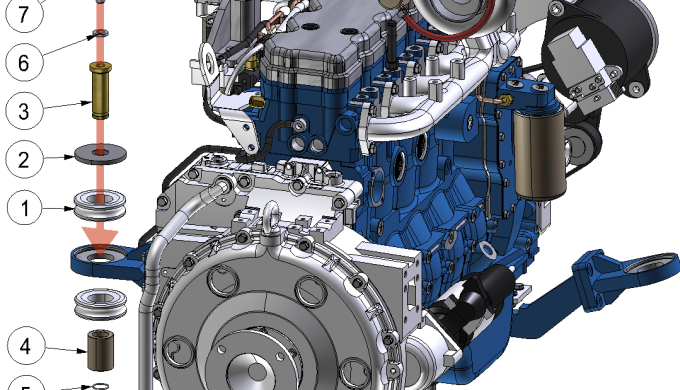
Solid Edge Illustrations permet de passer d’un modèle CAO 3D à des images, des images vectorielles, des documents PDF 3D et des illustrations en ligne.
Solid Edge 3D Publishing permet d’intégrer des modèles CAO 3D directement dans l’environnement de création de vos document et ceci d’une manière interactive. Le logiciel est parfait pour créer des fiches techniques, notices de montage, catalogues illustrés de pièces détachées, documents techniques de support, manuels de production….avec une mise à jour possible quand le modèle CAO 3D est modifié.
Price of the Product
Category of the Product
Company website
Our recommended products and services
-
-
Software Rental for Surveying: 3D and Drone | INSTOP Catalunya At INSTOP Catalunya, we offer a comprehensive surveying software rental service, including solutions for 3D modeling, drones, and geospatial analysis. This service allows construction, engineering, architecture, and surveying companies to access professional, cutting-edge tools without the need for a long-term investment. Software Available for Rental: 3D modeling and design: for topographic surveys, civil works, and urban planning projects Drone data processing: creation of maps, orthophotos, point clouds, and digital terrain models (DTM/DSM) Geospatial and GIS analysis: integration of topographic data with GIS and BIM platforms Compatibility with Leica equipment and other professional sensors Benefits of Renting Surveying Software: Cost reduction by avoiding permanent licenses Flexible rental terms, ideal for short-term or specific projects Access to the latest software versions and updates Optimized workflows, integrating drones, total stations, and GNSS Professional training and technical support included if needed Typical Applications: Topographic surveys and terrain modeling Drone inspections and aerial mapping Construction monitoring and urban planning Generation of maps, point clouds, and 3D models for technical analysis Integration with BIM systems for advanced engineering projects 📩 Contact INSTOP Catalunya for professional advice and a personalized quote for 3D and drone surveying software rental.
-
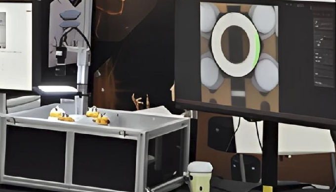
• AI vision-based precision inspection system easily applicable to manufacturing sites • μm-level precision inspection of product appearance, dimensions, shapes, fastening states, and more • Over 99% defect detection accuracy ensures both quality stability and productivity • Lot-based inspection data storage and traceability • Defect statistics dashboard (by lot/type) for quality monitoring • Multi-language support for inspection results (Korean/English)
-
#Product Description • Automated detection of building/facility exterior cracks using drone-captured images • Analysis of crack types and severity assessment • 3D mapping viewer for intuitive visualization of crack locations and conditions • Detects cracks as narrow as 0.2mm and as short as 100mm
-


